Burnaby’s varied topography—from the steep slopes of Burnaby Mountain to the ravines along Deer Lake—creates unique landslide risks for residential and commercial developments. The National Building Code of Canada (NBCC) requires slope stability analysis for any construction within 15 meters of a crest or in areas with historic instability. Our team uses geotechnical drilling, inclinometers, and piezometers to quantify shear strength and groundwater conditions; we then apply limit equilibrium methods to calculate factors of safety. For complex sites we combine this with instrumentación geotécnica to monitor movement over time and validate our models against real data.
In Burnaby’s glacial till and marine clays, shear strength can drop 40% with just a 2-meter rise in the water table.
Service characteristics in Burnaby
- Seismic refraction or MASW surveys to map bedrock depth
- SPT and CPT soundings to measure soil resistance in situ
- Laboratory triaxial and direct shear tests on undisturbed samples
- Groundwater monitoring wells to record seasonal fluctuations
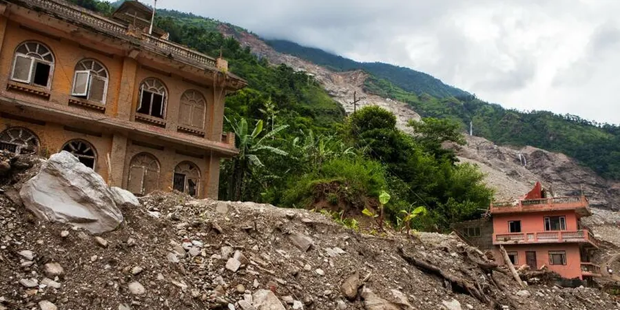
Typical technical challenges in Burnaby
Burnaby’s bedrock is mostly sedimentary rock of the Nanaimo Group, overlain by glacial deposits that can reach 30 meters in thickness. In areas like Capitol Hill and the Burnaby Lake basin, groundwater sits within 2–5 meters of the surface during wet months. That combination—deep, loose soils plus a high water table—is the classic recipe for translational and rotational slides. When pore pressure builds after heavy rain, the effective stress drops and the slope can fail with little warning. A site-specific assessment is the only way to know whether your property sits on a stable bench or a potential slide path.
Our services
We offer three core services tailored to Burnaby’s landslide-prone terrain
Slope Stability Analysis
Limit equilibrium and finite element modeling using Slide and PLAXIS. We evaluate circular and non-circular failure surfaces, seismic loading, and rapid drawdown conditions.
Field Instrumentation & Monitoring
Installation of inclinometers, standpipe piezometers, and surface markers. Data is collected weekly or after storm events to track movement and pore pressure changes.
Stabilization Design
Recommendations for soil nails, tieback anchors, drainage blankets, or retaining walls. Designs comply with Burnaby’s municipal bylaws and NBCC seismic provisions.
Frequently asked questions
When do I need a landslide assessment for my property in Burnaby?
Any development within 15 m of a slope crest or toe, or in areas mapped as having moderate to high landslide susceptibility by the City of Burnaby, requires a geotechnical assessment per NBCC. This includes new homes, additions, retaining walls, and even major landscaping that changes drainage patterns.
What is the typical cost range for a landslide assessment in Burnaby?
For a standard single-lot residential assessment, clients can expect costs between CA$1.220 and CA$4.700 depending on the number of boreholes, lab tests required, and monitoring duration. Complex multi-lot or steep-slope projects may fall at the higher end of this range.
How long does the assessment process take from start to finish?
A typical assessment takes 3 to 6 weeks. This includes site reconnaissance, drilling and sampling (1–2 days), laboratory testing (2–3 weeks), modeling and report writing (1–2 weeks). If long-term monitoring is required, the project extends accordingly.