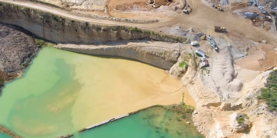
Burnaby's shallow geology is dominated by glacial till over compacted glaciomarine deposits, with localized peat lenses near Deer Lake and silt layers along the Brunette River floodplain. An exploratory test pit provides direct visual access to these strata at depths up to 5 m, allowing the engineering team to log soil profiles, collect undisturbed block samples for laboratory triaxial testing, and identify groundwater seepage zones before any foundation design begins. This method is especially valuable when the project site lies within the 0.2g to 0.4g seismic hazard zone mapped by the NBCC 2020, as the presence of soft layers can amplify shaking. Combining the test pit log with a [MASW survey](/masw-vs30/) refines the shear-wave velocity profile for site class assignment, and where fine-grained soils are suspected, Atterberg limits confirm plasticity characteristics for frost heave evaluation.
Direct visual access to subsurface strata remains the most reliable method for verifying soil fabric, groundwater conditions, and the presence of organic or collapsible layers.
Service characteristics in Burnaby
Typical technical challenges in Burnaby
In Burnaby, one of the most common issues encountered during an exploratory test pit is the sudden inflow of water through a thin sand seam intersecting a perched aquifer, often within the first 0.5 m of the glacial till. If the pit is left open longer than 30 minutes, sloughing of the sidewall can obscure the stratigraphy and compromise the log's accuracy. The team mitigates this by pre-installing a sump pump and recording water levels at 5-minute intervals, then backfilling immediately after logging. Another risk arises in the Capitol Hill area, where residual soil over weathered sandstone can collapse without warning — here, the pit is advanced in 0.5 m lifts with continuous shoring installed.
Our services
For subsurface investigations in Burnaby, we provide two complementary test-pit services tailored to the local geology and project phase.
Rapid Reconnaissance Test Pit
A single-day excavation targeting depths up to 3 m, ideal for preliminary site assessment in residential lots or small commercial parcels. Includes visual logging, bulk sample collection for index testing, and groundwater observation. Suitable for confirming the presence of organic layers or fill material before proceeding to detailed geotechnical design.
Full Stratigraphic Test Pit Profile
Designed for multi-level or infrastructure projects, this service extends the pit to the practical excavation limit (typically 4.5–5 m) with continuous shoring. Undisturbed block samples are taken at each stratum change for laboratory strength and consolidation testing. A detailed log is prepared with photographs, and the results are correlated with nearby borehole data to produce a cross-section.
Frequently asked questions
What is the typical cost range for an exploratory test pit in Burnaby?
The cost for a standard test pit in Burnaby ranges between CA$720 and CA$1,290, including mobilization, excavation to 3 m depth, logging, and sample collection. Deeper pits requiring shoring or additional travel to the Fraser River floodplain will fall at the higher end of that range.
How soon after excavating a test pit should I backfill to avoid groundwater contamination?
In Burnaby, backfilling should commence within 60 minutes of final logging to prevent groundwater mixing between aquifers and to maintain slope stability. The contractor must compact the backfill in 300 mm lifts to match the original density, especially in areas like the Still Creek corridor where perched water tables are common.
Can a test pit replace a standard SPT borehole for foundation design in Burnaby?
No — a test pit provides direct visual observation but cannot measure penetration resistance or undisturbed shear strength at depth. For bearing capacity calculations under NBCC 2020, SPT N-values from boreholes are required below the pit depth. The two methods are complementary: the pit refines the soil profile, while the borehole provides the strength parameters.
What seasonal restrictions apply to test pit excavations in Burnaby?
The rainy season from October to March can cause sidewall instability and groundwater inflow, so pit excavations are best scheduled between April and September. During winter months, the team installs temporary dewatering systems and uses wider trenches to reduce collapse risk. In the Capitol Hill area, freeze-thaw cycles in January can also affect sample quality.